An Alternate Sampling Methodology
Year: 2012
Subject: Capacity Building
Client: World Bank
Whereas sampling frames for household surveys are usually built on information from the most recent national census, these data can be unavailable or out-of-date.
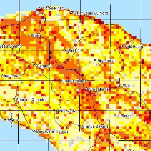
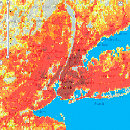
In 2012, Sistemas Integrales faced these obstacles in designing a household sample in Myanmar, where household surveys were required urgently and the last census had been conducted decades ago. Within this context, Sistemas Integrales used satellite-based information from LandScan, a global database developed by the United States government.
First, the 840,929 cells in Myanmar LandScan database were used to create and select Primary and Secondary Sampling Units (PSUs and SSUs). Next, topographical and administrative details were imported from the Myanmar Survey Department’s maps with Google Earth Pro and densely populated SSUs were mapped into segments (Tertiary Sampling Units, TSUs) of about 100 households each.
The final sampling stage consisted of selecting households in each TSU. This was a standard field operation, except that GPS data supported field workers in each of the selected cells.
This methodology offers sampling practitioners an alternative in situations where census data are unreliable or inaccessible.
Address
Jose M de la Barra 412, piso 4
Postcode 6500446
Santiago, Chile
Phone
+562 2638 1841
+562 2639 4554

Sistemas Integrales 2024 - All Rights Reserved
Address
José M de la Barra 412, piso 4
Postcode 6500446
Santiago, Chile
Phone
+562 2638 1841
+562 2639 4554
EmailÂ


Sistemas Integrales 2018 – All Rights Reserved


